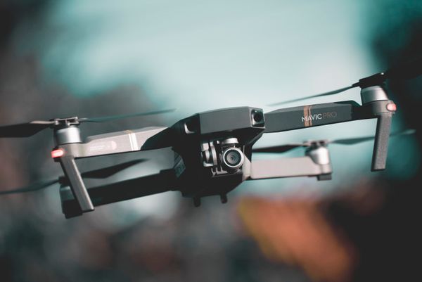
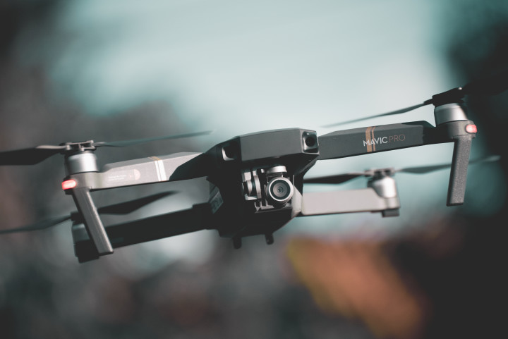
I hadn’t flown my drone, a DJI Mavic Pro, in over a year and decided to get some aerial shots of the forest behind our house since it was going to be harvested for its trees (Douglas Firs) earlier this year. The trees are roughly 35-40 years old, and that is the age when they are harvested.
I charged up the battery and took the drone outside to launch it. The display said that I was in a “No Fly Zone” and it wouldn’t permit the drone to take off. I went back inside to see what I could read on the internet concerning No Fly Zones. This is something new since I last flew the drone.
I read that there are No Fly Zones that you can get approval to fly in, you just have to request it online a day beforehand and then you can fly in those areas. On the other hand, there are Zones that you can never fly in, and that is what was showing where I live.
Having retired from the Navy and now working for the Navy, I know that drones have been a problem flying over bases and ships. There are ships and submarines that move through the waterways near where I live and this is the reason for those No Fly zones. I’m ok with that, but why can’t I fly over my own land?
It so happens that DJI has maps that it uses for enforcing the No Fly Zones in their software, and these don’t match up exactly with the FAA maps. Figure 1 shows the DJI map and Figure 2 shows the FAA map. Note the “hashed” area in Figure 1 includes the land (where I live) as a No Fly Zone, as compared to the FAA map that only includes the water.
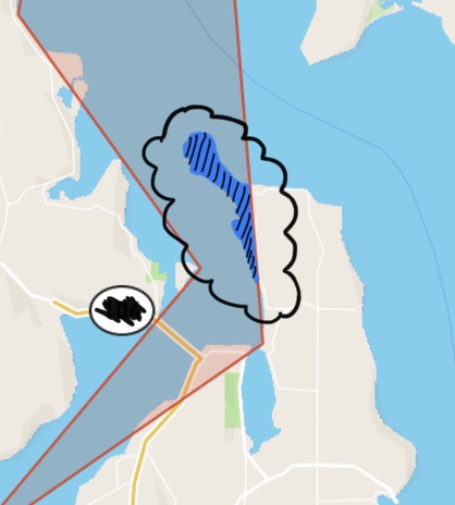
Figure 1
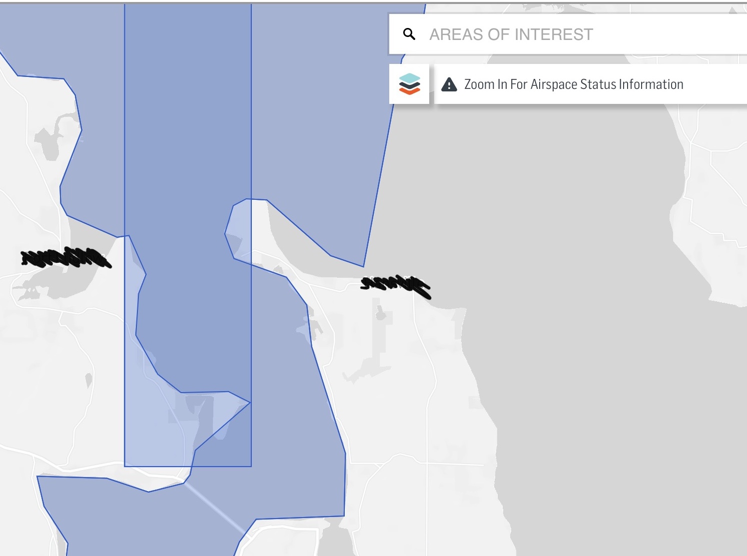
Figure 2
I have looked online where I can request that DJI update their map so that it matches the FAA map more precisely, but I haven’t had any luck. In the meantime, if I get deep enough into my backyard I can launch the drone and get the videos/pictures I want of the forest.
It’s unfortunate that DJI has to build in No Fly Zones and not allow the drone to launch because too many people have done unsafe and illegal things in the past.
If anyone knows how to get DJI to update their maps, please let me know.


